MIT Senseable City Lab Leaders Warn Visual AI Is Reshaping Urban Research
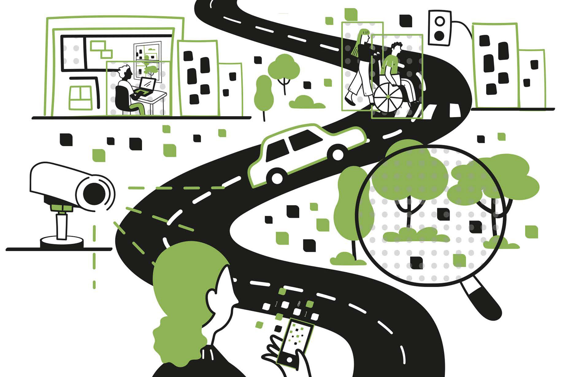
A new book from the directors of MIT's Senseable City Lab examines how computer vision tools are changing the way researchers study cities — and what gets lost when algorithms do the looking.
The people who run MIT's Senseable City Lab have published a book arguing that visual AI is quietly rewriting the rules of urban research. "How AI Sees the City," written by the lab's leadership, examines what happens when machine vision systems — trained on street-level imagery, satellite feeds, and surveillance footage — become the primary instrument for understanding how cities work. The book lands as municipal governments and planning departments increasingly lean on automated image analysis to make decisions about zoning, transit, and public space.
The Senseable City Lab, founded in 2004 and based in Cambridge, Massachusetts, has spent two decades deploying sensors, mobile phone data, and cameras to study urban systems. Its researchers have tracked everything from trash flows in New York to mobility patterns in Singapore. That track record gives the lab unusual standing to critique the same tools it helped popularize, and the book reportedly does not spare the field's own assumptions.
At the center of the argument is a mismatch between what computer vision measures and what urbanists actually want to know. Algorithms excel at counting cars, classifying building types, or flagging sidewalk obstructions across millions of images. They struggle with the social meaning of those observations — why a street corner functions as a gathering place, or how a neighborhood's character shifts over a decade. The book reportedly explores how training datasets, mostly drawn from wealthy cities in North America and Europe, bake in biases that skew findings when the same models are pointed at Lagos, Mumbai, or Manila.
Privacy is the other fault line. Visual AI makes it cheap to observe public space at a scale that was previously impossible, raising questions about consent, retention, and who gets access to the resulting data. The book arrives amid a broader backlash against unchecked camera networks, with several US cities having passed restrictions on facial recognition and other monitoring tools in recent years. The authors argue that researchers need to treat these constraints as design parameters, not obstacles to route around.
What the book does not settle is where the line should fall. If visual AI can reveal patterns invisible to human observers — say, how shade coverage tracks with income — is it irresponsible to refuse the tool? But if the same systems encode the priorities of whoever built them, then every map they produce carries an argument. The lab's next move, and how planning departments respond, will test whether that tension can be managed or only documented.